


Recent News
Shah Deniz 2
Welcome to the Shah Deniz 2 PODS GIS
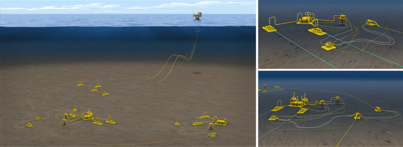
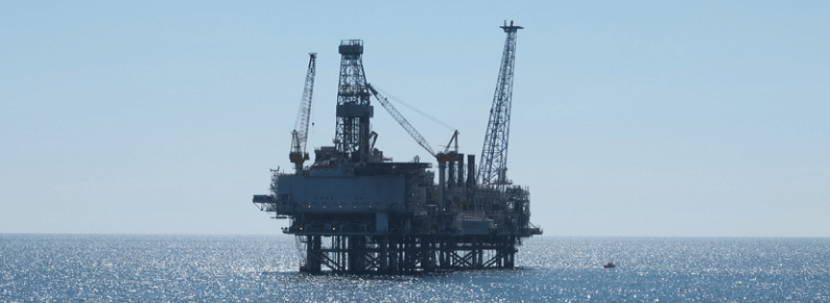
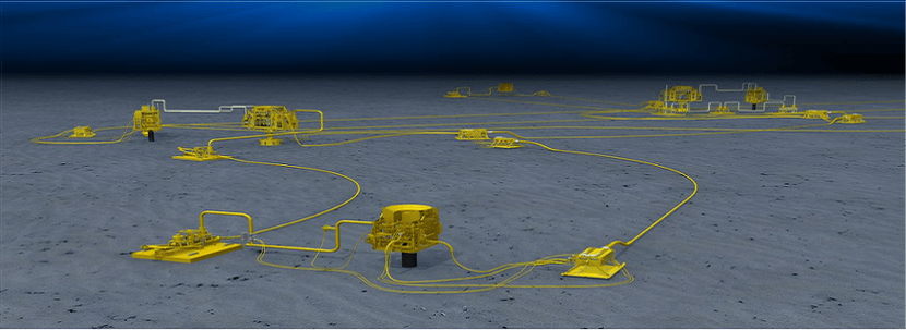
The Shah Deniz (SD) field was discovered in 1999. It is one of the world's largest gas-condensate fields, with 40 trillion cubic feet - over 1 trillion cubic metres - of gas in place. It is located on the deep water shelf of the Caspian Sea, 70km south-east of Baku, in water depths ranging from 50 to 500m.
Shah Deniz Stage 2 is a giant project that will add a further 16 billion cubic metres per year (bcma) of gas production to the approximately 9 bcma produced by Shah Deniz Stage 1.
The PODS GIS application suite is a powerful web visualisation and desktop system that makes use of mapping technology known as Geographic Information Systems (GIS). PODS GIS uses the international industry standard database knows as PODS (Pipeline Open Data Standard).
The Shah-Deniz 2 project will be supported by the PODS GIS solution during the design and construction project activities to collect, track and manage asset and survey information. The application provides a rich source of project asset information and system features which include installation support capabilities:
- Simultaneous Operations (SIMOPS)
- Vessel Tracking
- ROV Video Management and Playback
PODS GIS is designed as a decision support tool and to help improve communication and collaboration between Shah-Deniz 2 project teams across different geographical locations.
For all user access, training requests, help and support issues, please email WGKSD2DMT@woodgroupkenny.com.